|
search place name
|
||
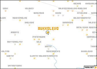
Aukkolëvo (Leningradskaya Oblast', Russia)Aukkolëvo is a town in the Leningradskaya Oblast' region of Russia. An overview map of the region around Aukkolëvo is displayed below.
regional and 3d topo map of Aukkolëvo, Russia ::
Aukkolëvo airports ::
The nearest airport is LED - St. Petersburg Pulkovo, located 46.0 km north east of Aukkolëvo.
Other airports nearby include LPP - Lappeenranta (197.8 km north west), Nearby towns ::
Verolantsy (2.1km north west) //
Yelizavetino (2.1km north west) //
Dylitsy (2.1km north west) //
Nikolayevka (2.1km north east) //
Verep'ye (2.1km south east) //
Pyataya Gora (2.6km south west) //
Selo (4.2km south west) //
Dontsy (5.6km south) //
Ozëra (3.4km south west) //
Novoye Shpan'kovo (4.7km north east) //
Luyskovitsy (7.5km north) //
Novo-Zarech'ye (7.5km south) //
Smol'kovo (5.3km north west) //
Bereznëvo (7.6km north) //
Mikino (7.6km north) //
Shpan'kovo (5.3km north east) //
Tarovitsy (7.9km north) //
[all distances 'as the bird flies' and approximate] 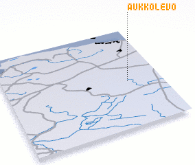 Places with similar names to Aukkolëvo, Russia ::
Disclaimer :: Information on this page comes without warranty of any kind |
||
|
Where is Aukkolëvo? Elevation and coordinates ::
Latitude (lat): 59°28'0"N Longitude (lon): 29°47'0"E
Elevation (approx.): 132m (map arrows pan, magnifying glasses zoom) |
||
|
Visiting Aukkolëvo? Hotel/Accommodation ::
Book a hotel in Aukkolëvo Travel Guide ::
Buy a travel guide for Russia rental cars ::
car rental offers GPS waypoint ::
download a GPX waypoint (PoI) of Aukkolëvo for your GPS receiver
|
||