|
search place name
|
||
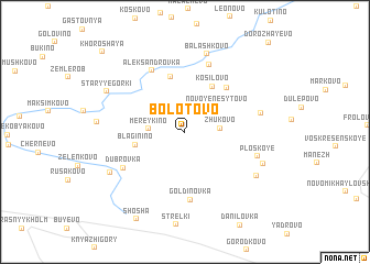
Bolotovo (Tverskaya Oblast', Russia)Bolotovo is a town in the Tverskaya Oblast' region of Russia. An overview map of the region around Bolotovo is displayed below.
regional and 3d topo map of Bolotovo, Russia ::
Bolotovo airports ::
The nearest airport is KLD - Tver Migalovo, located 77.0 km north of Bolotovo.
Other airports nearby include VKO - Moscow Vnukovo (138.4 km south east), Nearby towns ::
Zhukovo (2.0km east) //
Mereykino (2.1km west) //
Novoye Nesytovo (3.1km north east) //
Blaginino (3.1km south west) //
Kosilovo (4.9km north) //
Kashentsevo (5.7km north) //
Ivashkovo (5.0km north east) //
Gol'dinovka (6.9km south) //
Aleksandrovka (6.5km north) //
Dubrovka (5.0km south west) //
Polukhtino (7.0km north) //
Ploskoye (4.8km south east) //
Staroye Nesytovo (4.7km north east) //
Balashkovo (8.0km north) //
Tarasovo (6.0km south east) //
Ploskoye Pervoye (5.5km south east) //
Ploskoye Vtoroye (5.5km south east) //
Saurovo (5.9km south west) //
Staryye Gorki (6.0km north west) //
Shosha (9.3km south) //
Khoroshaya (9.4km north west) //
[all distances 'as the bird flies' and approximate] 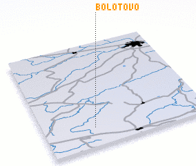 Places with similar names to Bolotovo, Russia ::
Disclaimer :: Information on this page comes without warranty of any kind |
||
|
Where is Bolotovo? Elevation and coordinates ::
Latitude (lat): 56°10'44"N Longitude (lon): 35°18'43"E
Elevation (approx.): 186m (map arrows pan, magnifying glasses zoom) |
||
|
Visiting Bolotovo? Hotel/Accommodation ::
Book a hotel in Bolotovo Travel Guide ::
Buy a travel guide for Russia rental cars ::
car rental offers GPS waypoint ::
download a GPX waypoint (PoI) of Bolotovo for your GPS receiver
|
||