|
search place name
|
||
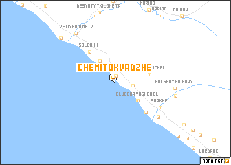
Chemitokvadzhe (Krasnodarskiy Kray, Russia)Chemitokvadzhe is a town in the Krasnodarskiy Kray region of Russia. An overview map of the region around Chemitokvadzhe is displayed below.
regional and 3d topo map of Chemitokvadzhe, Russia ::
Chemitokvadzhe airports ::
The nearest airport is AER - Sochi, located 61.8 km south east of Chemitokvadzhe.
Other airports nearby include KRR - Krasnodar Pashkovskiy (134.0 km north), Nearby towns ::
Katkova Shchel' (1.1km north) //
Zubova Shchel' (2.1km east) //
Volkonka (4.0km north west) //
Glubokaya Shchel' (4.0km south east) //
Zubova Shchel' (4.2km east) //
Soloniki (5.8km north west) //
Golovinka (6.0km south east) //
Shakhe (6.7km south east) //
Golovinka (7.5km south east) //
Tretiy Kilometr (9.2km north west) //
Lazarevskoye (9.6km north west) //
[all distances 'as the bird flies' and approximate] 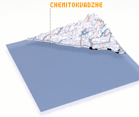 Places with similar names to Chemitokvadzhe, Russia :: Disclaimer :: Information on this page comes without warranty of any kind |
||
|
Where is Chemitokvadzhe? Elevation and coordinates ::
Latitude (lat): 43°50'30"N Longitude (lon): 39°24'47"E
Elevation (approx.): 22m (map arrows pan, magnifying glasses zoom) |
||
|
Visiting Chemitokvadzhe? Hotel/Accommodation ::
Book a hotel in Chemitokvadzhe Travel Guide ::
Buy a travel guide for Russia rental cars ::
car rental offers GPS waypoint ::
download a GPX waypoint (PoI) of Chemitokvadzhe for your GPS receiver
|
||