|
search place name
|
||
Druzhovetskiy (Orlovskaya Oblast', Russia)Druzhovetskiy is a town in the Orlovskaya Oblast' region of Russia. An overview map of the region around Druzhovetskiy is displayed below.
regional and 3d topo map of Druzhovetskiy, Russia ::

Nearby towns ::
Snava (1.4km south) //
Pervyy Panikovets (1.9km south) //
Aleksandrovka (3.2km north) //
Butyrki (3.4km north) //
Step' (2.3km west) //
Bityug (4.3km south) //
Stepnaya (3.9km north west) //
Podlesnaya (5.0km north) //
Ozerki (5.7km north) //
Rzhavets (3.9km east) //
Karpunëvka (5.9km south east) //
Podsoborovka (5.1km south west) //
Novyy Khutor (7.8km north) //
Berëzovyy Log (5.9km south east) //
Vesëlyy Berezhok (7.8km north) //
Ponyri Vtoryye (7.8km south) //
Derlovka (7.1km south east) //
Arkhangel'skoye (7.9km north) //
Nikol'skoye (7.1km north east) //
Gorodishche (8.2km south east) //
Ochki (7.2km north east) //
Ol'khovatka (9.3km south) //
Sorevnovaniye (7.6km north east) //
Pogorelovtsy (8.7km south west) //
[all distances 'as the bird flies' and approximate] 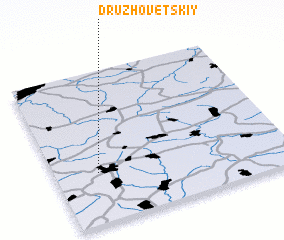 Places with similar names to Druzhovetskiy, Russia :: Disclaimer :: Information on this page comes without warranty of any kind |
||
|
Where is Druzhovetskiy? Elevation and coordinates ::
Latitude (lat): 52°20'0"N Longitude (lon): 36°11'0"E
Elevation (approx.): 221m (map arrows pan, magnifying glasses zoom) |
||
|
Visiting Druzhovetskiy? Hotel/Accommodation ::
Book a hotel in Druzhovetskiy Travel Guide ::
Buy a travel guide for Russia rental cars ::
car rental offers GPS waypoint ::
download a GPX waypoint (PoI) of Druzhovetskiy for your GPS receiver
|
||