|
search place name
|
||
Fedurnovo (Smolenskaya Oblast', Russia)Fedurnovo is a town in the Smolenskaya Oblast' region of Russia. An overview map of the region around Fedurnovo is displayed below.
regional and 3d topo map of Fedurnovo, Russia ::

Fedurnovo airports ::
The nearest airport is BZK - Bryansk, located 210.8 km south east of Fedurnovo.
Nearby towns ::
Vachkovo (1.1km north east) //
Kuntsovo (1.9km north) //
Morëvo (2.0km east) //
Ryzhkovo (3.0km south east) //
Nekisovo (2.3km west) //
Lyubanovo (3.6km south west) //
Leshen'ki (4.8km north) //
Goncharovo (4.2km south west) //
Titkovo (3.6km south east) //
Kolpino (5.8km south) //
Sloboda (5.2km north east) //
Slotovo (4.3km west) //
Rusanovo (7.6km north) //
Ol'khovo (4.8km north west) //
Kholm (6.7km south west) //
Lyakhovo (4.9km east) //
Pokryshkino (7.8km north) //
Berëzkino (6.8km north west) //
Novaya Malinovka (8.0km south east) //
Malinovka (8.7km south) //
Tresvyat'ye (10.2km north west) //
[all distances 'as the bird flies' and approximate] 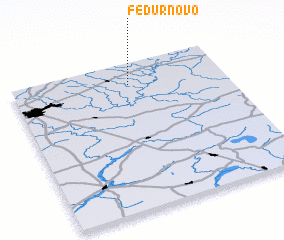
Disclaimer :: Information on this page comes without warranty of any kind |
||
|
Where is Fedurnovo? Elevation and coordinates ::
Latitude (lat): 54°50'57"N Longitude (lon): 32°33'4"E
Elevation (approx.): 206m (map arrows pan, magnifying glasses zoom) |
||
|
Visiting Fedurnovo? Hotel/Accommodation ::
Book a hotel in Fedurnovo Travel Guide ::
Buy a travel guide for Russia rental cars ::
car rental offers GPS waypoint ::
download a GPX waypoint (PoI) of Fedurnovo for your GPS receiver
|
||