|
search place name
|
||
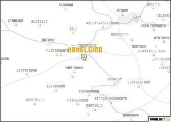
Kamel'gino (Kaluzhskaya Oblast', Russia)Kamel'gino is a town in the Kaluzhskaya Oblast' region of Russia. An overview map of the region around Kamel'gino is displayed below.
regional and 3d topo map of Kamel'gino, Russia ::
Kamel'gino airports ::
The nearest airport is VKO - Moscow Vnukovo, located 134.4 km north east of Kamel'gino.
Other airports nearby include SVO - Moscow Sheremetyevo (174.3 km north east), BZK - Bryansk (197.5 km south west), Nearby towns ::
Tovarkovo (2.5km north) //
Yarlykovo (2.8km south west) //
Gorbenki (3.8km south west) //
Rudnya (3.4km north west) //
Bol'shaya Rudnya (3.4km north west) //
Malaya Rudnya (3.9km west) //
Beli (6.5km north) //
Yakshunovo (7.5km south) //
Dvortsy (6.2km south east) //
Polotnyanyy Zavod (7.7km north) //
Matovo (6.0km north west) //
Mukovnino (6.6km north east) //
Bulgakovo (7.5km south west) //
[all distances 'as the bird flies' and approximate] 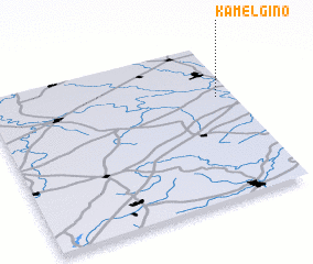
Disclaimer :: Information on this page comes without warranty of any kind |
||
|
Where is Kamel'gino? Elevation and coordinates ::
Latitude (lat): 54°39'18"N Longitude (lon): 35°55'55"E
Elevation (approx.): 150m (map arrows pan, magnifying glasses zoom) |
||
|
Visiting Kamel'gino? Hotel/Accommodation ::
Book a hotel in Kamel'gino Travel Guide ::
Buy a travel guide for Russia rental cars ::
car rental offers GPS waypoint ::
download a GPX waypoint (PoI) of Kamel'gino for your GPS receiver
|
||