|
search place name
|
||
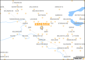
Kamennik (Novgorodskaya Oblast', Russia)Kamennik is a town in the Novgorodskaya Oblast' region of Russia. An overview map of the region around Kamennik is displayed below.
regional and 3d topo map of Kamennik, Russia ::
Kamennik airports ::
The nearest airport is KLD - Tver Migalovo, located 223.8 km south east of Kamennik.
Nearby towns ::
Lopat'yevo (1.9km south) //
Terebnya (1.0km east) //
Tashchivtsevo (1.9km north) //
Sokovo (1.9km north) //
Volok (2.1km south west) //
Gory (2.1km south east) //
Bereznitsy (3.8km south) //
Vyglyadovo (3.8km north) //
Mishino (3.8km north) //
Raytsy (2.7km north east) //
Levkovo (4.2km north west) //
Vodosi (4.2km north east) //
Semënovskoye (5.6km north) //
Sivtsevo (5.6km north) //
Zapol'ka (5.6km south) //
Tuyemlya (5.6km south) //
Bor (2.9km west) //
Chernoruch'ye (5.6km south) //
Kholm (4.7km south east) //
Rodishkino (4.7km north east) //
Zvyagino (5.9km north) //
Udryni (5.9km south) //
Malaya Gorka (7.4km south) //
Gorka (4.3km north west) //
Cheremosh'ye (7.5km south) //
Solnechnaya (7.5km north) //
Lut'yanovo (7.5km north) //
Kozlovo (6.3km south east) //
Bezuni (5.4km south west) //
[all distances 'as the bird flies' and approximate] 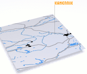 Places with similar names to Kamennik, Russia ::
Disclaimer :: Information on this page comes without warranty of any kind |
||
|
Where is Kamennik? Elevation and coordinates ::
Latitude (lat): 58°32'0"N Longitude (lon): 33°47'0"E
Elevation (approx.): 105m (map arrows pan, magnifying glasses zoom) |
||
|
Visiting Kamennik? Hotel/Accommodation ::
Book a hotel in Kamennik Travel Guide ::
Buy a travel guide for Russia rental cars ::
car rental offers GPS waypoint ::
download a GPX waypoint (PoI) of Kamennik for your GPS receiver
|
||