|
search place name
|
||
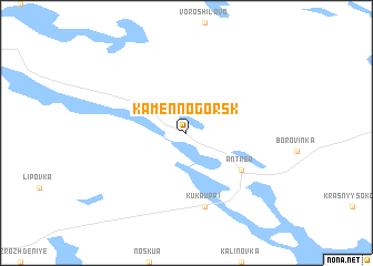
Kamennogorsk (Leningradskaya Oblast', Russia)Kamennogorsk is a town in the Leningradskaya Oblast' region of Russia. An overview map of the region around Kamennogorsk is displayed below.
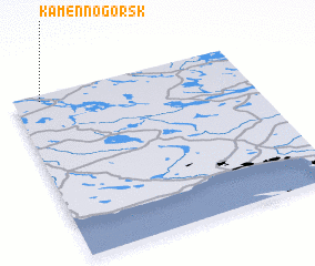
regional and 3d topo map of Kamennogorsk, Russia ::
Kamennogorsk airports ::
The nearest airport is LPP - Lappeenranta, located 53.3 km west of Kamennogorsk.
Other airports nearby include SVL - Savonlinna (109.2 km north), MIK - Mikkeli (130.2 km north west), LED - St. Petersburg Pulkovo (144.5 km south east), VRK - Varkaus (149.7 km north west), Nearby towns ::
 Places with similar names to Kamennogorsk, Russia :: Disclaimer :: Information on this page comes without warranty of any kind |
||
|
Where is Kamennogorsk? Elevation and coordinates ::
Latitude (lat): 60°58'0"N Longitude (lon): 29°7'0"E
(map arrows pan, magnifying glasses zoom) |
||
|
Visiting Kamennogorsk? Hotel/Accommodation ::
Book a hotel in Kamennogorsk Travel Guide ::
Buy a travel guide for Russia rental cars ::
car rental offers GPS waypoint ::
download a GPX waypoint (PoI) of Kamennogorsk for your GPS receiver
|
||