|
search place name
|
||
Karakuli (Kirovskaya Oblast', Russia)Karakuli is a town in the Kirovskaya Oblast' region of Russia. An overview map of the region around Karakuli is displayed below.
regional and 3d topo map of Karakuli, Russia ::

Karakuli airports ::
The nearest airport is KZN - Kazan, located 136.9 km south west of Karakuli.
Nearby towns ::
Sludka (3.4km south) //
Karakul'skaya Pristan' (2.8km north west) //
Lugovoy Izran (2.3km south east) //
Varmino (3.7km south) //
Verkhniye Iziverki (5.3km south) //
Merinovshchina (4.4km south west) //
Batym (7.2km south) //
Sushi (5.4km south east) //
Malyy Log (4.8km west) //
[all distances 'as the bird flies' and approximate] 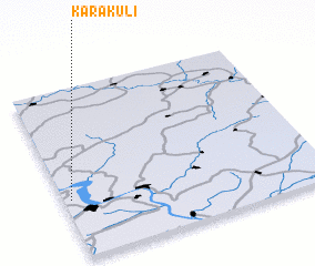 Places with similar names to Karakuli, Russia ::
Disclaimer :: Information on this page comes without warranty of any kind |
||
|
Where is Karakuli? Elevation and coordinates ::
Latitude (lat): 56°20'50"N Longitude (lon): 51°1'40"E
Elevation (approx.): 96m (map arrows pan, magnifying glasses zoom) |
||
|
Visiting Karakuli? Hotel/Accommodation ::
Book a hotel in Karakuli Travel Guide ::
Buy a travel guide for Russia rental cars ::
car rental offers GPS waypoint ::
download a GPX waypoint (PoI) of Karakuli for your GPS receiver
|
||