|
search place name
|
||
Kochaki (Chuvashiya, Russia)Kochaki is a town in the Chuvashiya region of Russia. An overview map of the region around Kochaki is displayed below.
regional and 3d topo map of Kochaki, Russia ::
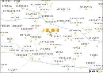
Nearby towns ::
Shiner-Turunovo (1.1km north west) //
Turunovo (1.5km north east) //
Itmary (1.5km south east) //
Sin'yal-Shat'ma (3.0km south) //
Vurmankas-Turunovo (2.6km north west) //
Vurmankasy (4.0km south) //
Shuposi (4.2km south) //
Khora-Sirma (4.5km north) //
Tipvary (3.1km south east) //
Pikshiki (3.8km south west) //
Yamaykasy (3.3km west) //
Kyul'-Sirma (5.7km south) //
Sirma-Pos' (3.5km east) //
Lebedery (4.4km north west) //
Ishaki (6.5km north) //
Shibachëvo (6.7km north) //
Anatkas-Margi (5.6km north east) //
Sirikli (6.7km south) //
Polaykasy (4.2km east) //
Oyrisyurt (4.5km west) //
Verkhnyaya Tipsirma (7.6km south) //
Chirshkasy (6.6km north west) //
Yeneshkasy (5.0km east) //
Syaval-Sirma (4.9km east) //
Shorkasy (8.0km north) //
Endimirkasy (5.2km west) //
Nizhnyaya Tipsirma (8.7km south) //
Chalymkasy (9.0km north) //
Golovo (6.7km south west) //
[all distances 'as the bird flies' and approximate] 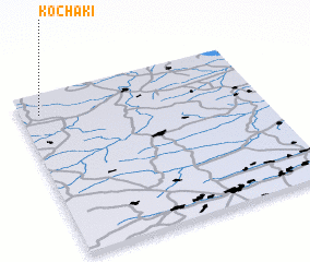 Places with similar names to Kochaki, Russia ::
Disclaimer :: Information on this page comes without warranty of any kind |
||
|
Where is Kochaki? Elevation and coordinates ::
Latitude (lat): 55°52'26"N Longitude (lon): 47°4'46"E
Elevation (approx.): 158m (map arrows pan, magnifying glasses zoom) |
||
|
Visiting Kochaki? Hotel/Accommodation ::
Book a hotel in Kochaki Travel Guide ::
Buy a travel guide for Russia rental cars ::
car rental offers GPS waypoint ::
download a GPX waypoint (PoI) of Kochaki for your GPS receiver
|
||