|
search place name
|
||
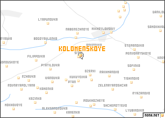
Kolomenskoye (Tul'skaya Oblast', Russia)Kolomenskoye is a town in the Tul'skaya Oblast' region of Russia. An overview map of the region around Kolomenskoye is displayed below.
regional and 3d topo map of Kolomenskoye, Russia ::
Kolomenskoye airports ::
The nearest airport is VOZ - Voronezh Chertovitskoye, located 196.3 km south of Kolomenskoye.
Nearby towns ::
Sitki (0.8km north west) //
Pokrovka (2.7km north east) //
Ozerki (3.8km south) //
Rostovo (4.9km north) //
Kukuyevka (5.0km south) //
Nikol'skiye Vyselki (4.8km south) //
Naberezhnoye (5.9km north) //
Krotovka (5.3km south west) //
Ptan' (6.2km south) //
Rakhmanovo (5.3km south east) //
Pyatilovka (4.9km south west) //
Mikhaylovskiy (6.6km north east) //
Ivanovka (6.6km south west) //
Chudnovka (7.2km north east) //
Bogoyavlenka (6.2km north west) //
Zelënaya Roshcha (8.0km south east) //
Kamenka (9.0km south west) //
Lyapunovka (9.3km north west) //
[all distances 'as the bird flies' and approximate] 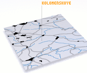 Places with similar names to Kolomenskoye, Russia ::
Disclaimer :: Information on this page comes without warranty of any kind |
||
|
Where is Kolomenskoye? Elevation and coordinates ::
Latitude (lat): 53°30'42"N Longitude (lon): 38°26'30"E
Elevation (approx.): 189m (map arrows pan, magnifying glasses zoom) |
||
|
Visiting Kolomenskoye? Hotel/Accommodation ::
Book a hotel in Kolomenskoye Travel Guide ::
Buy a travel guide for Russia rental cars ::
car rental offers GPS waypoint ::
download a GPX waypoint (PoI) of Kolomenskoye for your GPS receiver
|
||