|
search place name
|
||
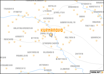
Kurmanovo (Bryanskaya Oblast', Russia)Kurmanovo is a town in the Bryanskaya Oblast' region of Russia. An overview map of the region around Kurmanovo is displayed below.
regional and 3d topo map of Kurmanovo, Russia ::
Kurmanovo airports ::
The nearest airport is BZK - Bryansk, located 64.0 km east of Kurmanovo.
Nearby towns ::
Shiichi (0.7km east) //
Dubrovaya Roshcha (1.2km south east) //
Zarech'ye (2.1km north) //
Kornevskiy (2.4km north) //
Zapol'ye (1.5km west) //
Kornëvo (2.9km north) //
Zapol'ye (2.0km west) //
Staropochep'ye (3.4km south) //
Pol'niki (2.1km west) //
Supryagino (3.6km north west) //
Semënovskiy (3.4km north west) //
Studenets (3.1km north east) //
Dadorovka (3.5km south east) //
Glazovo (4.5km north) //
Pashkovo (3.2km south west) //
Chëpovo (4.7km south east) //
Ogorodniki (4.3km north east) //
Anishino (4.0km north west) //
Kazanovo (5.7km north) //
Bytnya (3.9km west) //
Zavaliput'i (5.8km north) //
Shaulino (4.2km north west) //
Kuznetsy (4.2km south east) //
Milashovo (6.6km south) //
Polyanka (4.2km east) //
Alekseyevsk (4.5km north east) //
Dobraya Volya (5.5km north east) //
Bliznitsy (6.2km north west) //
Vaskovichi (7.4km south) //
[all distances 'as the bird flies' and approximate] 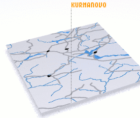 Places with similar names to Kurmanovo, Russia ::
Disclaimer :: Information on this page comes without warranty of any kind |
||
|
Where is Kurmanovo? Elevation and coordinates ::
Latitude (lat): 53°1'5"N Longitude (lon): 33°16'40"E
Elevation (approx.): 154m (map arrows pan, magnifying glasses zoom) |
||
|
Visiting Kurmanovo? Hotel/Accommodation ::
Book a hotel in Kurmanovo Travel Guide ::
Buy a travel guide for Russia rental cars ::
car rental offers GPS waypoint ::
download a GPX waypoint (PoI) of Kurmanovo for your GPS receiver
|
||