|
search place name
|
||
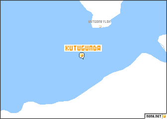
Kutugunda (Buryatiya, Russia)Kutugunda is a town in the Buryatiya region of Russia. An overview map of the region around Kutugunda is displayed below.
regional and 3d topo map of Kutugunda, Russia ::
Nearby towns ::
Ust'-Gorbylok (7.7km north) //
[all distances 'as the bird flies' and approximate] 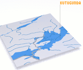 Places with similar names to Kutugunda, Russia ::
// Gadāikāndi (BD)
// Guatacondo (CL)
// Kotekonda (CD)
// Kutu-Kindia (CD)
// Kātikund (IN)
// Kodikonda (IN)
// Kotakunda (IN)
// Godakanda (LK)
// Godakanda (LK)
// Katukenda (LK)
Disclaimer :: Information on this page comes without warranty of any kind |
||
|
Where is Kutugunda? Elevation and coordinates ::
Latitude (lat): 55°20'0"N Longitude (lon): 113°49'0"E
Elevation (approx.): 1160m (map arrows pan, magnifying glasses zoom) |
||
|
Visiting Kutugunda? Hotel/Accommodation ::
Book a hotel in Kutugunda Travel Guide ::
Buy a travel guide for Russia rental cars ::
car rental offers GPS waypoint ::
download a GPX waypoint (PoI) of Kutugunda for your GPS receiver
|
||