|
search place name
|
||
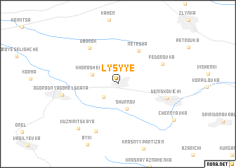
Lysyye (Bryanskaya Oblast', Russia)Lysyye is a town in the Bryanskaya Oblast' region of Russia. An overview map of the region around Lysyye is displayed below.
regional and 3d topo map of Lysyye, Russia ::
Lysyye airports ::
The nearest airport is GME - Gomel, located 47.3 km north west of Lysyye.
Other airports nearby include KBP - Kiev Boryspil Intl (227.4 km south), IEV - Kiev Zhuliany Intl (230.5 km south), Nearby towns ::
Litvinovka (2.5km south west) //
Shurnov (4.0km south) //
Khoroshëvka (2.9km north west) //
Netesha (5.7km north) //
Uborok (6.4km north west) //
Fëdorovka (5.4km north east) //
Deniskovichi (5.2km south east) //
Kuzʼminichi (7.8km south) //
Ogorodnya-Gomelʼskaya (5.7km west) //
Kuzʼminitskaya (8.1km south west) //
Chernyavka (7.9km south east) //
[all distances 'as the bird flies' and approximate] 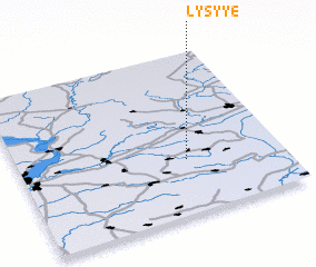 Places with similar names to Lysyye, Russia ::
Disclaimer :: Information on this page comes without warranty of any kind |
||
|
Where is Lysyye? Elevation and coordinates ::
Latitude (lat): 52°20'7"N Longitude (lon): 31°38'14"E
Elevation (approx.): 139m (map arrows pan, magnifying glasses zoom) |
||
|
Visiting Lysyye? Hotel/Accommodation ::
Book a hotel in Lysyye Travel Guide ::
Buy a travel guide for Russia rental cars ::
car rental offers GPS waypoint ::
download a GPX waypoint (PoI) of Lysyye for your GPS receiver
|
||