|
search place name
|
||
Malinkino (Mariy-El, Russia)Malinkino is a town in the Mariy-El region of Russia. An overview map of the region around Malinkino is displayed below.
regional and 3d topo map of Malinkino, Russia ::

Malinkino airports ::
The nearest airport is KZN - Kazan, located 154.9 km south of Malinkino.
Nearby towns ::
Mari-Pumar' (3.8km south) //
Malaya Vacherma (3.8km south) //
Bol'shoy Ruyal (4.3km north east) //
Orsyuba (6.2km north) //
Toshnur (4.1km south west) //
Kosolapovo (6.9km south) //
Aryn (6.2km south west) //
Kol'dygozina (7.5km south) //
Bol'shaya Syuba (7.8km north) //
Talovka (6.7km north east) //
[all distances 'as the bird flies' and approximate] 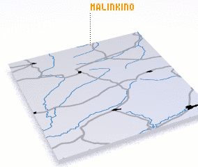 Places with similar names to Malinkino, Russia ::
// Melingon (MM)
// Milaunggon (MM)
// Milaunggon (MM)
// Milaunggon (MM)
// Milaunggon (MM)
// Milaunggon (MM)
// Milaunggôn (MM)
// Milaungon (MM)
// Maalngon (PH)
// Malangan (PH)
Disclaimer :: Information on this page comes without warranty of any kind |
||
|
Where is Malinkino? Elevation and coordinates ::
Latitude (lat): 56°59'1"N Longitude (lon): 49°37'34"E
Elevation (approx.): 134m (map arrows pan, magnifying glasses zoom) |
||
|
Visiting Malinkino? Hotel/Accommodation ::
Book a hotel in Malinkino Travel Guide ::
Buy a travel guide for Russia rental cars ::
car rental offers GPS waypoint ::
download a GPX waypoint (PoI) of Malinkino for your GPS receiver
|
||