|
search place name
|
||
Mikhaylovskiy (Tul'skaya Oblast', Russia)Mikhaylovskiy is a town in the Tul'skaya Oblast' region of Russia. An overview map of the region around Mikhaylovskiy is displayed below.
regional and 3d topo map of Mikhaylovskiy, Russia ::

Nearby towns ::
Spartak (2.9km north east) //
Lugovoy (3.5km south) //
Voskresenskoye (3.5km south) //
Rosyanskaya Polyana (4.4km south) //
Novo-Nikolayevka (4.8km north) //
Berëzovets Sychëvo (3.4km north east) //
Sel'tso Voskresenskoye (5.5km south) //
Trosna (6.2km south) //
Akint'yevo (5.8km north east) //
Berëzovets Gorki (5.5km north east) //
Nizhniye Bulychi (7.8km south east) //
Sukmanovo (8.6km north) //
Bulychi (7.9km south east) //
Dupny (7.4km north west) //
[all distances 'as the bird flies' and approximate] 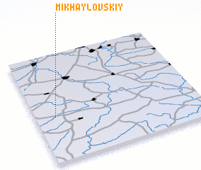 Places with similar names to Mikhaylovskiy, Russia ::
// Mikhaylovskiy (UA)
// Mikhaylovskiy (UA)
// Mikhailovskiy (RU)
// Mikhailovskiy (RU)
// Mikhalevskiy (RU)
// Mikhaylovsk (RU)
// Mikhaylovsk (RU)
// Mikhaylovskiy (RU)
// Mikhaylovskiy (RU)
// Mikhaylovskiy (RU)
Disclaimer :: Information on this page comes without warranty of any kind |
||
|
Where is Mikhaylovskiy? Elevation and coordinates ::
Latitude (lat): 53°24'53"N Longitude (lon): 37°7'15"E
Elevation (approx.): 262m (map arrows pan, magnifying glasses zoom) |
||
|
Visiting Mikhaylovskiy? Hotel/Accommodation ::
Book a hotel in Mikhaylovskiy Travel Guide ::
Buy a travel guide for Russia rental cars ::
car rental offers GPS waypoint ::
download a GPX waypoint (PoI) of Mikhaylovskiy for your GPS receiver
|
||