|
search place name
|
||
Muskarinkasy (Chuvashiya, Russia)Muskarinkasy is a town in the Chuvashiya region of Russia. An overview map of the region around Muskarinkasy is displayed below.
regional and 3d topo map of Muskarinkasy, Russia ::
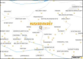
Nearby towns ::
Ishley (1.4km north east) //
Khachiki (2.8km south west) //
Kurmyshi (3.7km south east) //
Yadrinkasy (4.7km north) //
Malyye Kotyaki (4.1km south east) //
Bol'shiye Kotyaki (5.1km south) //
Sin'yal-Pokrovskoye (4.2km north east) //
Mamgi (3.1km west) //
Kshaushi (4.8km south east) //
Yaruskasy (4.2km south east) //
Sobakkasy (5.4km south east) //
Timoy Mamyshi (6.2km south) //
Chalymkasy (7.3km south) //
Salabaykasy (7.4km north) //
Memeshi (4.1km east) //
Chiganary (7.1km south) //
Khora-Sirma (6.4km south west) //
Shorkasy (8.3km south) //
Kiv'yal (5.6km south west) //
Ishleykasy (8.5km south) //
Yaushi (8.5km north east) //
[all distances 'as the bird flies' and approximate] 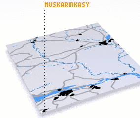 Places with similar names to Muskarinkasy, Russia :: Disclaimer :: Information on this page comes without warranty of any kind |
||
|
Where is Muskarinkasy? Elevation and coordinates ::
Latitude (lat): 56°1'0"N Longitude (lon): 47°2'0"E
Elevation (approx.): 135m (map arrows pan, magnifying glasses zoom) |
||
|
Visiting Muskarinkasy? Hotel/Accommodation ::
Book a hotel in Muskarinkasy Travel Guide ::
Buy a travel guide for Russia rental cars ::
car rental offers GPS waypoint ::
download a GPX waypoint (PoI) of Muskarinkasy for your GPS receiver
|
||