|
search place name
|
||
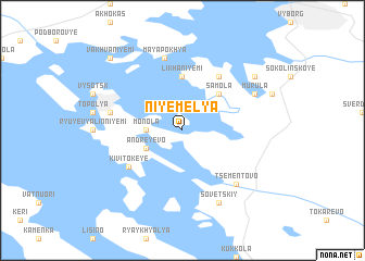
Niyemelya (Leningradskaya Oblast', Russia)Niyemelya is a town in the Leningradskaya Oblast' region of Russia. An overview map of the region around Niyemelya is displayed below.
regional and 3d topo map of Niyemelya, Russia ::
Niyemelya airports ::
The nearest airport is LPP - Lappeenranta, located 56.7 km north west of Niyemelya.
Other airports nearby include QVY - Utti (99.0 km west), LED - St. Petersburg Pulkovo (126.2 km south east), MIK - Mikkeli (144.0 km north west), SVL - Savonlinna (150.5 km north), Nearby towns ::
Monola (1.8km west) //
Andreyevo (2.6km south west) //
Samola (4.1km north east) //
Likhaniyemi (5.6km north) //
Kivitokeye (4.6km south west) //
Kotaniemi (5.8km north) //
Mayapokh'ya (7.5km north) //
Suikkila (4.1km north west) //
Tsementovo (6.2km south east) //
Sovetskiy (7.6km south) //
Murula (5.2km north east) //
Khortana (6.6km north east) //
Vakhvaniyemi (8.3km north west) //
[all distances 'as the bird flies' and approximate] 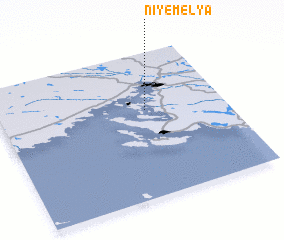
Disclaimer :: Information on this page comes without warranty of any kind |
||
|
Where is Niyemelya? Elevation and coordinates ::
Latitude (lat): 60°36'0"N Longitude (lon): 28°39'0"E
(map arrows pan, magnifying glasses zoom) |
||
|
Visiting Niyemelya? Hotel/Accommodation ::
Book a hotel in Niyemelya Travel Guide ::
Buy a travel guide for Russia rental cars ::
car rental offers GPS waypoint ::
download a GPX waypoint (PoI) of Niyemelya for your GPS receiver
|
||