|
search place name
|
||
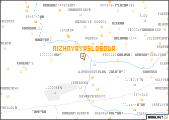
Nizhnyaya Sloboda (Orlovskaya Oblast', Russia)Nizhnyaya Sloboda is a town in the Orlovskaya Oblast' region of Russia. An overview map of the region around Nizhnyaya Sloboda is displayed below.
regional and 3d topo map of Nizhnyaya Sloboda, Russia ::
Nizhnyaya Sloboda airports ::
The nearest airport is BZK - Bryansk, located 149.1 km north west of Nizhnyaya Sloboda.
Nearby towns ::
Bogorodskoye (0.2km north west) //
Golenishchevo (1.7km south east) //
Rogovka (3.9km north) //
Pugachi (3.9km north) //
Il'inskiy Posëlok (3.9km south) //
Bogomolovka (4.1km south) //
Dubrava (4.3km north east) //
Zakharovka (5.7km south) //
Lebedikha (6.2km south) //
Venderevo (5.6km north) //
Konotop (6.0km north) //
Privol'ye (6.0km north) //
Vesëlyy (6.7km south) //
Razdol'ye (7.4km north) //
Bogorodskiy (4.5km west) //
Staraya Gnilusha (4.5km east) //
Gusary (7.7km north) //
Zolotaya (5.8km south east) //
Podozërenka (7.2km north east) //
Tagino (8.8km south) //
Voronëts (8.4km south west) //
Ozërna (8.5km north east) //
[all distances 'as the bird flies' and approximate] 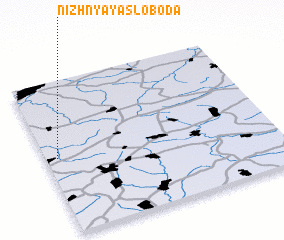 Places with similar names to Nizhnyaya Sloboda, Russia ::
Disclaimer :: Information on this page comes without warranty of any kind |
||
|
Where is Nizhnyaya Sloboda? Elevation and coordinates ::
Latitude (lat): 52°30'0"N Longitude (lon): 36°3'0"E
Elevation (approx.): 180m (map arrows pan, magnifying glasses zoom) |
||
|
Visiting Nizhnyaya Sloboda? Hotel/Accommodation ::
Book a hotel in Nizhnyaya Sloboda Travel Guide ::
Buy a travel guide for Russia rental cars ::
car rental offers GPS waypoint ::
download a GPX waypoint (PoI) of Nizhnyaya Sloboda for your GPS receiver
|
||