|
search place name
|
||
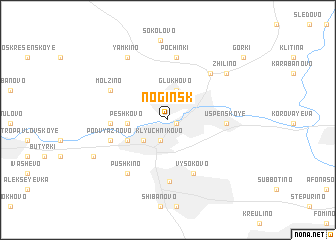
Noginsk (Moskovskaya Oblast', Russia)Noginsk is a town in the Moskovskaya Oblast' region of Russia. An overview map of the region around Noginsk is displayed below.
regional and 3d topo map of Noginsk, Russia ::
Noginsk airports ::
The nearest airport is SVO - Moscow Sheremetyevo, located 65.5 km west of Noginsk.
Other airports nearby include VKO - Moscow Vnukovo (79.7 km west), Nearby towns ::
Bogorodsk (0.7km south east) //
Klyuchnikovo (2.3km south) //
Glukhovo (3.4km north) //
Kutuzovo (2.7km south west) //
Peshkovo (2.6km west) //
Domozhirovo (3.4km south west) //
Berëzovyy Mostik (3.6km west) //
Uspenskoye (3.7km east) //
Vysokovo (6.2km south) //
Podvyaznovo (4.3km south west) //
Elektrostal' (6.9km south) //
Babenki (5.8km north east) //
Pochinki (7.0km north) //
Molzino (4.9km north west) //
Pushkino (6.5km south west) //
Zhilino (6.3km north east) //
Yamkino (7.5km north) //
Sokolovo (8.9km north) //
Kamenki-Dranishnikovo (6.2km south west) //
Gorki (8.4km north east) //
[all distances 'as the bird flies' and approximate] 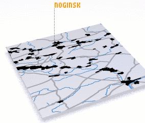 Places with similar names to Noginsk, Russia ::
// Noginsk (RU)
Disclaimer :: Information on this page comes without warranty of any kind |
||
|
Where is Noginsk? Elevation and coordinates ::
Latitude (lat): 55°51'13"N Longitude (lon): 38°26'28"E
Elevation (approx.): 148m (map arrows pan, magnifying glasses zoom) |
||
|
Visiting Noginsk? Hotel/Accommodation ::
Book a hotel in Noginsk Travel Guide ::
Buy a travel guide for Russia rental cars ::
car rental offers GPS waypoint ::
download a GPX waypoint (PoI) of Noginsk for your GPS receiver
|
||