|
search place name
|
||
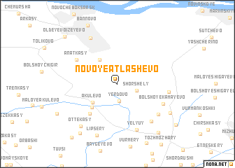
Novoye Atlashevo (Chuvashiya, Russia)Novoye Atlashevo is a town in the Chuvashiya region of Russia. An overview map of the region around Novoye Atlashevo is displayed below.
regional and 3d topo map of Novoye Atlashevo, Russia ::
Novoye Atlashevo airports ::
The nearest airport is KZN - Kazan, located 117.1 km east of Novoye Atlashevo.
Nearby towns ::
Nizhniy Magaz' (2.0km north) //
Yerdovo (2.8km south) //
Shorshely (2.0km south east) //
Toskineyevo (4.1km north west) //
Akulevo (3.7km south west) //
Taushkasy (4.4km south west) //
Shishkenery (5.3km south west) //
Anatkasy (5.3km north west) //
Yelyuy (7.5km south) //
Bol'shoye Kamayevo (5.2km south east) //
Sin'yal-Irkh-Sirmy (6.7km south east) //
Almandayevo (6.0km south east) //
Maloye Kamayevo (4.8km east) //
(( Yandashevo )) (7.7km north) //
Lipsery (8.4km south) //
Ottekasy (7.4km south west) //
Verkhniye Irkh Sirmy (6.6km south east) //
Sin'yaly (8.6km south west) //
Syutkasy (8.6km south east) //
Chirshi (9.4km south west) //
Ol'deyevo-Izeyevo (8.9km north west) //
[all distances 'as the bird flies' and approximate] 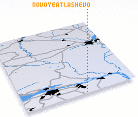 Places with similar names to Novoye Atlashevo, Russia :: Disclaimer :: Information on this page comes without warranty of any kind |
||
|
Where is Novoye Atlashevo? Elevation and coordinates ::
Latitude (lat): 56°0'57"N Longitude (lon): 47°33'32"E
Elevation (approx.): 69m (map arrows pan, magnifying glasses zoom) |
||
|
Visiting Novoye Atlashevo? Hotel/Accommodation ::
Book a hotel in Novoye Atlashevo Travel Guide ::
Buy a travel guide for Russia rental cars ::
car rental offers GPS waypoint ::
download a GPX waypoint (PoI) of Novoye Atlashevo for your GPS receiver
|
||