|
search place name
|
||
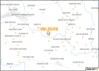
Oblogino (Smolenskaya Oblast', Russia)Oblogino is a town in the Smolenskaya Oblast' region of Russia. An overview map of the region around Oblogino is displayed below.
regional and 3d topo map of Oblogino, Russia ::
Oblogino airports ::
The nearest airport is VTB - Vitebsk, located 129.6 km west of Oblogino.
Other airports nearby include BZK - Bryansk (211.4 km south east), Nearby towns ::
Zabolot'ye (1.3km north) //
Bubnovo (1.9km south) //
Mitino (3.4km north west) //
Yasnaya Polyana (3.7km north west) //
Rudnya (4.0km north west) //
Nizhniye Domanichi (3.8km south east) //
Ukolovo (5.6km south) //
Val'vachi (3.8km west) //
Verkhniye Domanichi (5.0km south east) //
Tychinino (6.8km south) //
Fedyukino (4.6km north east) //
Korolëva (4.8km south east) //
Dekhtyanka (4.6km east) //
Novoye Sinyavino (6.1km north east) //
Boroviki (6.5km south east) //
Dukhovskaya (7.4km north east) //
Sukhorukova (5.1km east) //
Tokari (8.8km north) //
Konets (5.9km north east) //
Lavrova (8.3km north east) //
[all distances 'as the bird flies' and approximate] 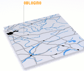 Places with similar names to Oblogino, Russia ::
// Obuljeno (HR)
Disclaimer :: Information on this page comes without warranty of any kind |
||
|
Where is Oblogino? Elevation and coordinates ::
Latitude (lat): 54°44'20"N Longitude (lon): 32°15'21"E
Elevation (approx.): 169m (map arrows pan, magnifying glasses zoom) |
||
|
Visiting Oblogino? Hotel/Accommodation ::
Book a hotel in Oblogino Travel Guide ::
Buy a travel guide for Russia rental cars ::
car rental offers GPS waypoint ::
download a GPX waypoint (PoI) of Oblogino for your GPS receiver
|
||