|
search place name
|
||
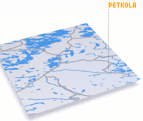
Petkola (Kareliya, Russia)Petkola is a town in the Kareliya region of Russia. An overview map of the region around Petkola is displayed below.
regional and 3d topo map of Petkola, Russia ::

Petkola airports ::
The nearest airport is SVL - Savonlinna, located 88.9 km north west of Petkola.
Other airports nearby include LPP - Lappeenranta (94.2 km west), VRK - Varkaus (144.7 km north west), JOE - Joensuu (156.1 km north), LED - St. Petersburg Pulkovo (165.1 km south), Nearby towns ::
 Places with similar names to Petkola, Russia ::
// Padaukhla (MM)
// Petkala (MM)
// Puttgolla (DE)
// Petikal (MY)
// Petaquilla (PA)
// Piedicolle (IT)
// Padegliai (LT)
// Puodkaliai (LT)
// Patküla (EE)
// Puduküla (EE)
Disclaimer :: Information on this page comes without warranty of any kind |
||
|
Where is Petkola? Elevation and coordinates ::
Latitude (lat): 61°16'0"N Longitude (lon): 29°50'0"E
(map arrows pan, magnifying glasses zoom) |
||
|
Visiting Petkola? Hotel/Accommodation ::
Book a hotel in Petkola Travel Guide ::
Buy a travel guide for Russia rental cars ::
car rental offers GPS waypoint ::
download a GPX waypoint (PoI) of Petkola for your GPS receiver
|
||