|
search place name
|
||
Petrodvorets (Sankt-Peterburg, Russia)Petrodvorets is a town in the Sankt-Peterburg region of Russia. An overview map of the region around Petrodvorets is displayed below.
regional and 3d topo map of Petrodvorets, Russia ::

Petrodvorets airports ::
The nearest airport is LED - St. Petersburg Pulkovo, located 22.6 km south east of Petrodvorets.
Other airports nearby include LPP - Lappeenranta (161.2 km north west), Nearby towns ::
Peterhof (0.3km south east) //
Prosveshcheniye (2.3km north west) //
Sashino (4.0km south) //
Luizino (2.9km south east) //
Mishino (5.7km south) //
Sanino (5.7km south) //
Nizino (5.8km south) //
Kostino (5.8km south) //
Olino (5.9km south) //
Znamenskaya Koloniya (4.9km south east) //
Znamenka (4.0km east) //
Poeziya (4.4km south east) //
Martyshkino (4.7km west) //
Gorbunki (7.0km south east) //
Bol'shoy Simonogont (7.2km south west) //
Malyy Simonogont (8.8km south west) //
[all distances 'as the bird flies' and approximate] 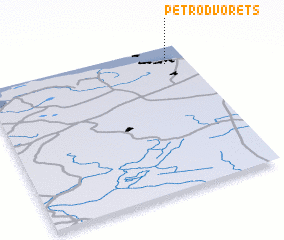 Places with similar names to Petrodvorets, Russia ::
// Pedro de Freitas (BR)
Disclaimer :: Information on this page comes without warranty of any kind |
||
|
Where is Petrodvorets? Elevation and coordinates ::
Latitude (lat): 59°53'6"N Longitude (lon): 29°53'45"E
Elevation (approx.): 23m (map arrows pan, magnifying glasses zoom) |
||
|
Visiting Petrodvorets? Hotel/Accommodation ::
Book a hotel in Petrodvorets Travel Guide ::
Buy a travel guide for Russia rental cars ::
car rental offers GPS waypoint ::
download a GPX waypoint (PoI) of Petrodvorets for your GPS receiver
|
||