|
search place name
|
||
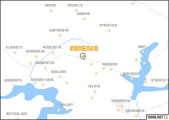
Ramenka (Smolenskaya Oblast', Russia)Ramenka is a town in the Smolenskaya Oblast' region of Russia. An overview map of the region around Ramenka is displayed below.
regional and 3d topo map of Ramenka, Russia ::
Ramenka airports ::
The nearest airport is KLD - Tver Migalovo, located 116.1 km north east of Ramenka.
Nearby towns ::
Dvoyeshki (1.2km south east) //
Sukholetovo (3.3km south east) //
Gladkoye (3.0km south east) //
Mordvino (3.9km south east) //
Lebëdki (5.5km south west) //
Nikul'niki (4.9km south west) //
Pesochnya (4.3km north west) //
Yel'nya (7.1km south) //
Chaynikovo (6.4km north west) //
Saburovo (8.4km south) //
Myakotino (7.3km north east) //
Podberëzki (5.2km west) //
[all distances 'as the bird flies' and approximate] 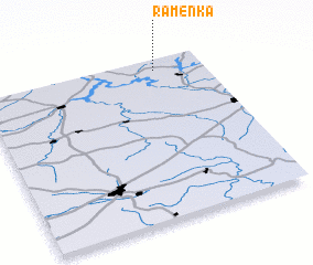 Places with similar names to Ramenka, Russia ::
// Raiming (AT)
// Raming (DE)
// Rumah Naga (MY)
// Rumah Nagah (MY)
// Rumah Nugu (MY)
// Romaniuki (PL)
// Romanki (PL)
// Romanki (PL)
// Romanówka (PL)
// Romanówka (PL)
Disclaimer :: Information on this page comes without warranty of any kind |
||
|
Where is Ramenka? Elevation and coordinates ::
Latitude (lat): 55°56'0"N Longitude (lon): 34°47'0"E
Elevation (approx.): 228m (map arrows pan, magnifying glasses zoom) |
||
|
Visiting Ramenka? Hotel/Accommodation ::
Book a hotel in Ramenka Travel Guide ::
Buy a travel guide for Russia rental cars ::
car rental offers GPS waypoint ::
download a GPX waypoint (PoI) of Ramenka for your GPS receiver
|
||