|
search place name
|
||
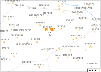
Rusin (Bryanskaya Oblast', Russia)Rusin is a town in the Bryanskaya Oblast' region of Russia. An overview map of the region around Rusin is displayed below.
regional and 3d topo map of Rusin, Russia ::
Rusin airports ::
The nearest airport is BZK - Bryansk, located 45.1 km west of Rusin.
Nearby towns ::
Koptilovo (2.5km north) //
Klyuchi (3.6km north east) //
Kozinki (4.7km south east) //
Morozovka (3.8km south west) //
Pokrov (5.3km south) //
Kostikhino (4.7km north west) //
Luzhetskaya (5.7km south) //
Bol'shiye Podosinki (5.2km south east) //
Ol'khovka (4.0km south west) //
Barybino (7.7km north) //
Revny (8.2km south) //
Rudaki (5.2km east) //
Dudorovy Dvory (7.7km north west) //
Mokroye (6.6km north east) //
Bol'shoye Akulovo (6.5km south east) //
Lipovka (5.8km south west) //
Chertorokh (7.1km south east) //
Khokhlovka (9.1km north) //
Bobrovka (8.9km south east) //
[all distances 'as the bird flies' and approximate] 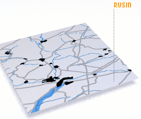 Places with similar names to Rusin, Russia ::
Disclaimer :: Information on this page comes without warranty of any kind |
||
|
Where is Rusin? Elevation and coordinates ::
Latitude (lat): 53°4'1"N Longitude (lon): 34°48'16"E
Elevation (approx.): 195m (map arrows pan, magnifying glasses zoom) |
||
|
Visiting Rusin? Hotel/Accommodation ::
Book a hotel in Rusin Travel Guide ::
Buy a travel guide for Russia rental cars ::
car rental offers GPS waypoint ::
download a GPX waypoint (PoI) of Rusin for your GPS receiver
|
||