|
search place name
|
||
Shuarsola (Mariy-El, Russia)Shuarsola is a town in the Mariy-El region of Russia. An overview map of the region around Shuarsola is displayed below.
regional and 3d topo map of Shuarsola, Russia ::

Shuarsola airports ::
The nearest airport is KZN - Kazan, located 147.9 km south east of Shuarsola.
Nearby towns ::
Kokshamara (2.8km south east) //
Bol'shoye Akashevo (4.3km south) //
Sredniy Puyal (4.1km north west) //
Timeyeva (6.3km south) //
Bol'shoy Puyal (6.9km north) //
Yatmanova (5.6km south west) //
Tomsharovo (4.9km south west) //
Azanovo (8.3km south) //
Puyal (7.6km north) //
Kel'maksola (5.8km north east) //
Kashnurskiy (9.4km north west) //
Yezhovo (9.7km south west) //
[all distances 'as the bird flies' and approximate] 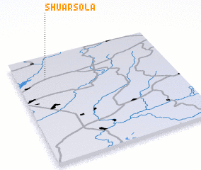 Places with similar names to Shuarsola, Russia ::
// Chorzele (PL)
// Chorzele (PL)
// Chorzelów (PL)
// Chiricel (RO)
// Char Sailla (BD)
// Char Silai (BD)
// Shirsāla (IN)
// Shirsoli (IN)
// Sharāzūl (IR)
// Shīrz̄īl (IR)
Disclaimer :: Information on this page comes without warranty of any kind |
||
|
Where is Shuarsola? Elevation and coordinates ::
Latitude (lat): 56°47'18"N Longitude (lon): 48°11'34"E
Elevation (approx.): 115m (map arrows pan, magnifying glasses zoom) |
||
|
Visiting Shuarsola? Hotel/Accommodation ::
Book a hotel in Shuarsola Travel Guide ::
Buy a travel guide for Russia rental cars ::
car rental offers GPS waypoint ::
download a GPX waypoint (PoI) of Shuarsola for your GPS receiver
|
||