|
search place name
|
||
Smorodovnik (Pskovskaya Oblast', Russia)Smorodovnik is a town in the Pskovskaya Oblast' region of Russia. An overview map of the region around Smorodovnik is displayed below.
regional and 3d topo map of Smorodovnik, Russia ::

Smorodovnik airports ::
The nearest airport is VTB - Vitebsk, located 212.8 km south of Smorodovnik.
Nearby towns ::
Tsevlo (2.1km north west) //
Makarino (3.4km south) //
Gnezdina (2.2km east) //
Ozeryavka (3.5km north) //
Veret'yë (3.4km east) //
Stvol'no (5.6km north east) //
Vikhreshche (6.6km south east) //
Spasov Klin (7.9km south) //
Rosstannoye (5.8km south east) //
Derevenets (9.2km north) //
Plavnitsa (9.4km north) //
[all distances 'as the bird flies' and approximate] 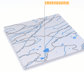 Places with similar names to Smorodovnik, Russia :: Disclaimer :: Information on this page comes without warranty of any kind |
||
|
Where is Smorodovnik? Elevation and coordinates ::
Latitude (lat): 57°2'14"N Longitude (lon): 30°18'41"E
Elevation (approx.): 95m (map arrows pan, magnifying glasses zoom) |
||
|
Visiting Smorodovnik? Hotel/Accommodation ::
Book a hotel in Smorodovnik Travel Guide ::
Buy a travel guide for Russia rental cars ::
car rental offers GPS waypoint ::
download a GPX waypoint (PoI) of Smorodovnik for your GPS receiver
|
||