|
search place name
|
||
Stepanovka (Bashkortostan, Russia)Stepanovka is a town in the Bashkortostan region of Russia. An overview map of the region around Stepanovka is displayed below.
regional and 3d topo map of Stepanovka, Russia ::

Stepanovka airports ::
The nearest airport is UFA - Ufa, located 119.3 km north east of Stepanovka.
Nearby towns ::
Solov'yëvka (3.7km south) //
Til'yar-Tama (2.2km west) //
Slakbash (2.9km north east) //
Vishnëvka (2.9km south west) //
Glukhovskaya (5.7km north) //
Uteyka (3.8km north west) //
Sosnovka (4.7km south west) //
Meneuz-Moskva (7.5km south) //
Orlovka (5.7km south east) //
Imeni Maksima Gor'kogo (5.7km north west) //
[all distances 'as the bird flies' and approximate] 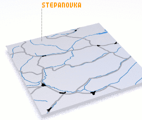 Places with similar names to Stepanovka, Russia ::
// Stepanevka (RU)
// Stepanovka (RU)
// Stepanovka (RU)
// Stepanovka (RU)
// Stepanovka (RU)
// Stepanovka (RU)
// Stepanovka (RU)
// Stepanovka (RU)
// Stepanovka (RU)
// Stepanovka (RU)
Disclaimer :: Information on this page comes without warranty of any kind |
||
|
Where is Stepanovka? Elevation and coordinates ::
Latitude (lat): 53°57'0"N Longitude (lon): 54°22'0"E
Elevation (approx.): 343m (map arrows pan, magnifying glasses zoom) |
||
|
Visiting Stepanovka? Hotel/Accommodation ::
Book a hotel in Stepanovka Travel Guide ::
Buy a travel guide for Russia rental cars ::
car rental offers GPS waypoint ::
download a GPX waypoint (PoI) of Stepanovka for your GPS receiver
|
||