|
search place name
|
||
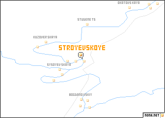
Stroyevskoye (Arkhangel'skaya Oblast', Russia)Stroyevskoye is a town in the Arkhangel'skaya Oblast' region of Russia. An overview map of the region around Stroyevskoye is displayed below.
regional and 3d topo map of Stroyevskoye, Russia ::
Nearby towns ::
(( Pogost Nikol'skiy )) (0.5km south) //
(( Nikol'skiy )) (0.9km south west) //
(( Starchevskaya )) (1.7km west) //
(( Sysoyevskaya )) (3.5km south west) //
Priluki (4.1km south west) //
Studenets (7.9km north) //
Budrino (5.8km south west) //
Kuzoverskaya (5.5km north west) //
[all distances 'as the bird flies' and approximate] 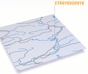 Places with similar names to Stroyevskoye, Russia ::
// Stroyevskoye (RU)
Disclaimer :: Information on this page comes without warranty of any kind |
||
|
Where is Stroyevskoye? Elevation and coordinates ::
Latitude (lat): 61°24'17"N Longitude (lon): 43°42'49"E
(map arrows pan, magnifying glasses zoom) |
||
|
Visiting Stroyevskoye? Hotel/Accommodation ::
Book a hotel in Stroyevskoye Travel Guide ::
Buy a travel guide for Russia rental cars ::
car rental offers GPS waypoint ::
download a GPX waypoint (PoI) of Stroyevskoye for your GPS receiver
|
||