|
search place name
|
||
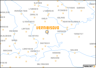
Vernibisovo (Smolenskaya Oblast', Russia)Vernibisovo is a town in the Smolenskaya Oblast' region of Russia. An overview map of the region around Vernibisovo is displayed below.
regional and 3d topo map of Vernibisovo, Russia ::
Vernibisovo airports ::
The nearest airport is BZK - Bryansk, located 202.7 km south east of Vernibisovo.
Nearby towns ::
Dobrikovo (1.9km north) //
Bel'chevitsy (2.1km south west) //
Shutovka (4.8km south) //
Kholm (5.0km north) //
Sopshino (3.2km east) //
Lopino (4.3km south west) //
Kulyatino (3.7km south west) //
Tyushino (4.6km north west) //
Lozyn' (6.0km south) //
Goncharovo (7.4km north) //
Kolpino (6.1km north east) //
Staraya Malinovka (4.7km north east) //
Malinovka (5.1km north east) //
Lyubanovo (8.0km north) //
Il'nishchevo (5.7km north west) //
Zapol'ye (7.2km north west) //
Laptëvo (5.0km west) //
Mironino (8.7km south) //
Vorontsy (8.4km south) //
Ryzhkovo (8.9km north) //
Lyubkovo (9.4km north) //
Lomeykovo (8.3km south west) //
[all distances 'as the bird flies' and approximate] 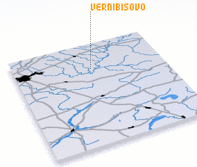 Places with similar names to Vernibisovo, Russia :: Disclaimer :: Information on this page comes without warranty of any kind |
||
|
Where is Vernibisovo? Elevation and coordinates ::
Latitude (lat): 54°45'0"N Longitude (lon): 32°31'0"E
Elevation (approx.): 179m (map arrows pan, magnifying glasses zoom) |
||
|
Visiting Vernibisovo? Hotel/Accommodation ::
Book a hotel in Vernibisovo Travel Guide ::
Buy a travel guide for Russia rental cars ::
car rental offers GPS waypoint ::
download a GPX waypoint (PoI) of Vernibisovo for your GPS receiver
|
||