|
search place name
|
||
Campbells Landing (Alabama, United States - USA)Campbells Landing is a town in the Alabama region of United States - USA. An overview map of the region around Campbells Landing is displayed below.
regional and 3d topo map of Campbells Landing, United States - USA ::

Campbells Landing airports ::
The nearest airport is NMM - Meridian Nas, located 80.0 km north west of Campbells Landing.
Other airports nearby include MOB - Mobile Rgnl (141.7 km south), BFM - Mobile Downtown (147.9 km south), MXF - Montgomery Maxwell Afb (167.3 km east), PNS - Pensacola Rgnl (185.1 km south east), Nearby towns ::
Rock Springs (1.7km south west) //
Pickens Landing (2.4km north) //
Wildcat Landing (2.2km west) //
Woods Bluff (2.9km south) //
Barneys Lower Landing (3.5km north) //
Schultys Landing (3.9km south west) //
Slater (4.7km north west) //
Cunningham Landing (5.6km south) //
Quinns Landing (5.2km south west) //
Cunningham (6.8km south) //
Failetown (6.2km south east) //
Spring Hill (6.6km west) //
Putnam (7.7km north east) //
Ararat (7.4km west) //
Smyer (8.4km south east) //
Morvin (7.6km east) //
Scruggs Landing (9.2km south west) //
[all distances 'as the bird flies' and approximate] 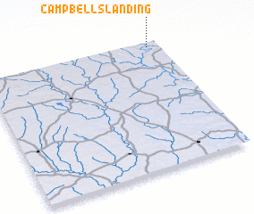 Places with similar names to Campbells Landing, United States - USA ::
// Campbells Landing (US)
Disclaimer :: Information on this page comes without warranty of any kind |
||
|
Where is Campbells Landing? Elevation and coordinates ::
Latitude (lat): 31°57'39"N Longitude (lon): 88°4'8"W
Elevation (approx.): 16m (map arrows pan, magnifying glasses zoom) |
||
|
Visiting Campbells Landing? Hotel/Accommodation ::
Book a hotel in Campbells Landing Travel Guide ::
rental cars ::
car rental offers GPS waypoint ::
download a GPX waypoint (PoI) of Campbells Landing for your GPS receiver
|
||