|
search place name
|
||
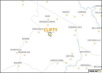
Clifty (Alabama, United States - USA)Clifty is a town in the Alabama region of United States - USA. An overview map of the region around Clifty is displayed below.
regional and 3d topo map of Clifty, United States - USA ::
Clifty airports ::
The nearest airport is HUA - Redstone Aaf, located 55.2 km north east of Clifty.
Other airports nearby include BHM - Birmingham Intl (86.9 km south), ANB - Anniston Metro (137.3 km south east), CBM - Colombus Columbus Afb (146.0 km south west), CHA - Chattanooga Lovell Fld (189.9 km north east), Nearby towns ::
Corinth (0.6km north) //
Andrews Chapel (4.4km north) //
Piney Grove (4.1km north west) //
Penn (6.4km north) //
Camp Ground (6.7km north) //
Battleground (7.1km east) //
Massey (9.2km north east) //
Dripping Springs (9.0km south east) //
Central (10.2km south east) //
Cedar Plains (10.2km north east) //
[all distances 'as the bird flies' and approximate] 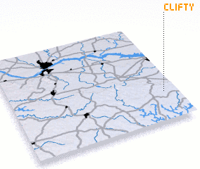 Places with similar names to Clifty, United States - USA ::
Disclaimer :: Information on this page comes without warranty of any kind |
||
|
Where is Clifty? Elevation and coordinates ::
Latitude (lat): 34°17'57"N Longitude (lon): 87°4'26"W
Elevation (approx.): 300m (map arrows pan, magnifying glasses zoom) |
||
|
Visiting Clifty? Hotel/Accommodation ::
Book a hotel in Clifty Travel Guide ::
rental cars ::
car rental offers GPS waypoint ::
download a GPX waypoint (PoI) of Clifty for your GPS receiver
|
||