|
search place name
|
||
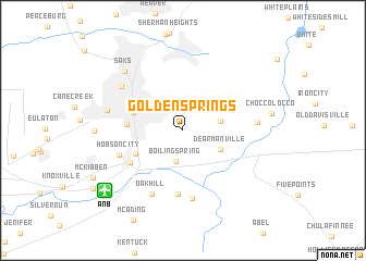
Golden Springs (Alabama, United States - USA)Golden Springs is a town in the Alabama region of United States - USA. An overview map of the region around Golden Springs is displayed below.
regional and 3d topo map of Golden Springs, United States - USA ::
Golden Springs airports ::
The nearest airport is ANB - Anniston Metro, located 9.1 km south west of Golden Springs.
Other airports nearby include BHM - Birmingham Intl (90.3 km west), MGE - Marietta Dobbins Arb (Atlanta Nas) (121.4 km east), ATL - Hartsfield Jackson Atlanta Intl (126.0 km east), HUA - Redstone Aaf (141.6 km north west), Nearby towns ::
Boiling Spring (3.3km south) //
Holly Springs (3.3km east) //
DeArmanville (3.7km south east) //
Lardent (4.7km south west) //
Anniston (4.6km north west) //
Oxanna (4.8km west) //
Oxford (5.6km south west) //
Friendship (6.6km south) //
Hobson City (5.9km south west) //
Hicks (7.0km south) //
Oak Hill (7.0km south) //
Harmony (6.5km east) //
Blue Mountain (7.0km north west) //
Letchers (6.8km west) //
Saks (7.9km north west) //
[all distances 'as the bird flies' and approximate] 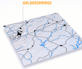 Places with similar names to Golden Springs, United States - USA :: Disclaimer :: Information on this page comes without warranty of any kind |
||
|
Where is Golden Springs? Elevation and coordinates ::
Latitude (lat): 33°38'37"N Longitude (lon): 85°47'9"W
Elevation (approx.): 246m (map arrows pan, magnifying glasses zoom) |
||
|
Visiting Golden Springs? Hotel/Accommodation ::
Book a hotel in Golden Springs Travel Guide ::
rental cars ::
car rental offers GPS waypoint ::
download a GPX waypoint (PoI) of Golden Springs for your GPS receiver
|
||