|
search place name
|
||
Keener (Alabama, United States - USA)Keener is a town in the Alabama region of United States - USA. An overview map of the region around Keener is displayed below.
regional and 3d topo map of Keener, United States - USA ::

Keener airports ::
The nearest airport is ANB - Anniston Metro, located 63.6 km south of Keener.
Other airports nearby include HUA - Redstone Aaf (88.9 km north west), BHM - Birmingham Intl (99.2 km south west), CHA - Chattanooga Lovell Fld (119.2 km north east), MGE - Marietta Dobbins Arb (Atlanta Nas) (135.2 km east), Nearby towns ::
Greenwood (1.8km north east) //
Yancy (3.0km north west) //
Tabor (3.1km east) //
Duck Springs (4.6km west) //
Hendrixville (6.9km north) //
Oakdale (7.0km south) //
Brice (7.1km south) //
Flanders (7.2km north east) //
Kyuka (6.6km west) //
Wilsonia (7.6km south east) //
Bath Springs (7.5km south east) //
Black Creek (7.1km east) //
Citico (8.4km south) //
Fairview (8.1km south west) //
Crudup (8.1km south west) //
Liberty Hill (7.7km west) //
Turkeytown (8.5km south east) //
Rodentown (10.6km north west) //
[all distances 'as the bird flies' and approximate] 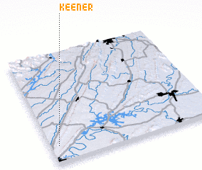 Places with similar names to Keener, United States - USA ::
Disclaimer :: Information on this page comes without warranty of any kind |
||
|
Where is Keener? Elevation and coordinates ::
Latitude (lat): 34°9'22"N Longitude (lon): 85°57'4"W
Elevation (approx.): 212m (map arrows pan, magnifying glasses zoom) |
||
|
Visiting Keener? Hotel/Accommodation ::
Book a hotel in Keener Travel Guide ::
rental cars ::
car rental offers GPS waypoint ::
download a GPX waypoint (PoI) of Keener for your GPS receiver
|
||