|
search place name
|
||
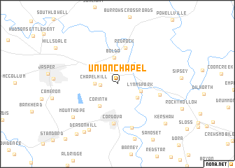
Union Chapel (Alabama, United States - USA)Union Chapel is a town in the Alabama region of United States - USA. An overview map of the region around Union Chapel is displayed below.
regional and 3d topo map of Union Chapel, United States - USA ::
Union Chapel airports ::
The nearest airport is BHM - Birmingham Intl, located 48.4 km south east of Union Chapel.
Other airports nearby include HUA - Redstone Aaf (105.9 km north east), CBM - Colombus Columbus Afb (118.9 km west), ANB - Anniston Metro (124.9 km east), MXF - Montgomery Maxwell Afb (176.1 km south east), Nearby towns ::
Gardiners Gin (2.2km west) //
Chapel Hill (3.0km west) //
Sardis (3.5km south east) //
Lynns Park (3.3km east) //
Boldo (4.2km north) //
Corinth (4.2km south west) //
Red Rock (5.8km north) //
Cordova (6.4km south) //
Argo (5.9km east) //
Benoit (7.2km south) //
Gobblers Crossing (8.2km south west) //
Mount Hope (7.9km south west) //
Dovertown (9.1km south) //
Deason Hill (8.8km south west) //
Kershaw (9.0km south east) //
Big Ridge (9.7km south west) //
America (11.2km south west) //
[all distances 'as the bird flies' and approximate] 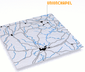 Places with similar names to Union Chapel, United States - USA ::
// Union Chapel (US)
Disclaimer :: Information on this page comes without warranty of any kind |
||
|
Where is Union Chapel? Elevation and coordinates ::
Latitude (lat): 33°49'0"N Longitude (lon): 87°10'40"W
Elevation (approx.): 134m (map arrows pan, magnifying glasses zoom) |
||
|
Visiting Union Chapel? Hotel/Accommodation ::
Book a hotel in Union Chapel Travel Guide ::
rental cars ::
car rental offers GPS waypoint ::
download a GPX waypoint (PoI) of Union Chapel for your GPS receiver
|
||