|
search place name
|
||
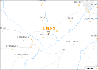
Welka (Alabama, United States - USA)Welka is a town in the Alabama region of United States - USA. An overview map of the region around Welka is displayed below.
regional and 3d topo map of Welka, United States - USA ::
Welka airports ::
The nearest airport is PNS - Pensacola Rgnl, located 59.9 km south of Welka.
Other airports nearby include CEW - Crestview Bob Sikes (69.9 km east), NPA - Pensacola Nas (74.1 km south), VPS - Valparaiso Eglin Afb (87.4 km south east), BFM - Mobile Downtown (93.4 km south west), Nearby towns ::
Wahl (2.2km south west) //
Pollard (3.0km north east) //
Osaka (6.0km north) //
Oyster Lodge (6.0km south west) //
Happy Valley (5.8km south west) //
South Flomaton (5.9km south west) //
Flomaton (5.9km west) //
Century (7.5km south west) //
Jay (8.2km south east) //
Keego (8.7km north east) //
[all distances 'as the bird flies' and approximate] 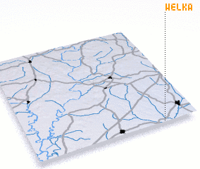 Places with similar names to Welka, United States - USA ::
Disclaimer :: Information on this page comes without warranty of any kind |
||
|
Where is Welka? Elevation and coordinates ::
Latitude (lat): 31°0'48"N Longitude (lon): 87°12'3"W
Elevation (approx.): 26m (map arrows pan, magnifying glasses zoom) |
||
|
Visiting Welka? Hotel/Accommodation ::
Book a hotel in Welka Travel Guide ::
rental cars ::
car rental offers GPS waypoint ::
download a GPX waypoint (PoI) of Welka for your GPS receiver
|
||