|
search place name
|
||
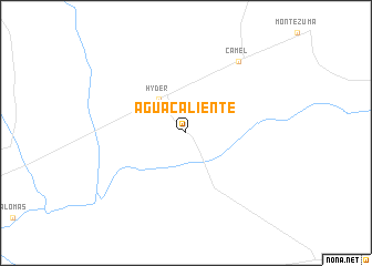
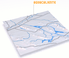
Agua Caliente (Arizona, United States - USA)Agua Caliente is a town in the Arizona region of United States - USA. An overview map of the region around Agua Caliente is displayed below.
regional and 3d topo map of Agua Caliente, United States - USA ::
Agua Caliente airports ::
The nearest airport is LUF - Phoenix Luke Afb, located 106.8 km north east of Agua Caliente.
Other airports nearby include YUM - Yuma Mcas Yuma Intl (125.5 km west), PHX - Phoenix Sky Harbor Intl (132.1 km north east), PPE - Punta Penasco Puerto Penasco (182.1 km south), MXL - Mexicali General Rodolfo Sanchez Taboada Intl (183.9 km west), Nearby towns ::
 Places with similar names to Agua Caliente, United States - USA ::
// Agua Caliente (BO)
// Agua Caliente (BO)
// Agua Caliente (BO)
// Agua Caliente (BO)
// Agua Caliente (US)
// Agua Caliente (PA)
// Agua Caliente (CO)
// Agua Caliente (CO)
// Aguacaliente (CO)
// Aguacaliente (CO)
Disclaimer :: Information on this page comes without warranty of any kind |
||
|
Where is Agua Caliente? Elevation and coordinates ::
Latitude (lat): 32°59'7"N Longitude (lon): 113°19'25"W
Elevation (approx.): 136m (map arrows pan, magnifying glasses zoom) |
||
|
Visiting Agua Caliente? Hotel/Accommodation ::
Book a hotel in Agua Caliente Travel Guide ::
rental cars ::
car rental offers GPS waypoint ::
download a GPX waypoint (PoI) of Agua Caliente for your GPS receiver
|
||