|
search place name
|
||
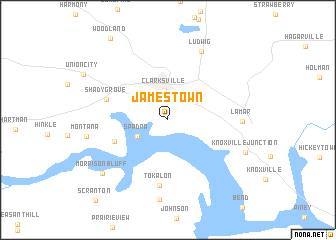
Jamestown (Arkansas, United States - USA)Jamestown is a town in the Arkansas region of United States - USA. An overview map of the region around Jamestown is displayed below.
regional and 3d topo map of Jamestown, United States - USA ::
Jamestown airports ::
The nearest airport is FSM - Fort Smith Rgnl, located 83.0 km west of Jamestown.
Other airports nearby include FYV - Fayetteville Drake Fld (89.5 km north west), HRO - Harrison Boone Co (95.1 km north), LRF - Jacksonville Little Rock Afb (133.0 km south east), LIT - Little Rock Adams Fld (137.8 km south east), Nearby towns ::
Clarksville (3.3km north) //
Spadra (3.4km south west) //
New Spadra (5.4km south west) //
Shady Grove (6.0km north west) //
Tokalon (7.3km south) //
Lamar (6.8km east) //
Ludwig (8.2km north) //
Dublin (8.9km south) //
Knoxville Junction (8.0km south east) //
Morrison Bluff (8.5km south west) //
[all distances 'as the bird flies' and approximate] 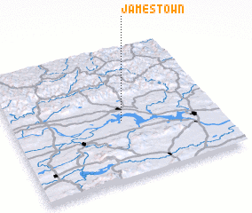 Places with similar names to Jamestown, United States - USA ::
Disclaimer :: Information on this page comes without warranty of any kind |
||
|
Where is Jamestown? Elevation and coordinates ::
Latitude (lat): 35°26'31"N Longitude (lon): 93°27'45"W
Elevation (approx.): 132m (map arrows pan, magnifying glasses zoom) |
||
|
Visiting Jamestown? Hotel/Accommodation ::
Book a hotel in Jamestown Travel Guide ::
rental cars ::
car rental offers GPS waypoint ::
download a GPX waypoint (PoI) of Jamestown for your GPS receiver
|
||