|
search place name
|
||
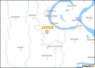
Jennie (Arkansas, United States - USA)Jennie is a town in the Arkansas region of United States - USA. An overview map of the region around Jennie is displayed below.
regional and 3d topo map of Jennie, United States - USA ::
Jennie airports ::
The nearest airport is MLU - Monroe Rgnl, located 108.5 km south west of Jennie.
Other airports nearby include GWO - Greenwood Leflore (114.9 km east), ELD - El Dorado South Arkansas Rgnl At Goodwin Fld (142.4 km west), JAN - Jackson Evers Intl (154.4 km south east), LIT - Little Rock Adams Fld (185.0 km north west), Nearby towns ::
Fairview (3.9km north east) //
Chanticleer (5.0km north) //
Chicot (5.6km south) //
Myrtle Grove (6.2km north) //
Chicot Junction (6.4km south) //
Hickory Ridge (7.6km south) //
Lake Village (8.1km north) //
Lakehall (8.2km north) //
Ashton (8.0km north west) //
[all distances 'as the bird flies' and approximate] 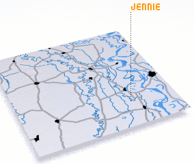 Places with similar names to Jennie, United States - USA ::
Disclaimer :: Information on this page comes without warranty of any kind |
||
|
Where is Jennie? Elevation and coordinates ::
Latitude (lat): 33°15'22"N Longitude (lon): 91°17'10"W
Elevation (approx.): 36m (map arrows pan, magnifying glasses zoom) |
||
|
Visiting Jennie? Hotel/Accommodation ::
Book a hotel in Jennie Travel Guide ::
rental cars ::
car rental offers GPS waypoint ::
download a GPX waypoint (PoI) of Jennie for your GPS receiver
|
||