|
search place name
|
||
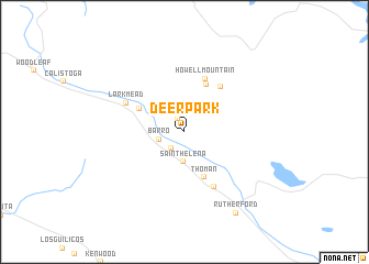
Deer Park (California, United States - USA)Deer Park is a town in the California region of United States - USA. An overview map of the region around Deer Park is displayed below.
regional and 3d topo map of Deer Park, United States - USA ::
Deer Park airports ::
The nearest airport is SUU - Fairfield Travis Afb, located 56.0 km south east of Deer Park.
Other airports nearby include SMF - Sacramento Intl (78.6 km east), SAC - Sacramento Executive (85.1 km east), OAK - Metropolitan Oakland Intl (92.7 km south), MCC - Sacramento Mc Clellan Afld (94.2 km east), Nearby towns ::
Sanitarium (1.5km north) //
Krug (1.9km south west) //
Barro (2.1km west) //
Saint Helena (3.1km south) //
Thoman (4.9km south) //
Bale (4.3km north west) //
Angwin (5.1km north) //
Howell Mountain (5.6km north) //
Veteran Heights (5.5km north east) //
Zinfandel (6.1km south east) //
Larkmead (5.5km north west) //
Rutherford (9.2km south east) //
[all distances 'as the bird flies' and approximate] 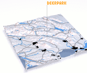 Places with similar names to Deer Park, United States - USA ::
Disclaimer :: Information on this page comes without warranty of any kind |
||
|
Where is Deer Park? Elevation and coordinates ::
Latitude (lat): 38°31'58"N Longitude (lon): 122°28'7"W
Elevation (approx.): 210m (map arrows pan, magnifying glasses zoom) |
||
|
Visiting Deer Park? Hotel/Accommodation ::
Book a hotel in Deer Park Travel Guide ::
rental cars ::
car rental offers GPS waypoint ::
download a GPX waypoint (PoI) of Deer Park for your GPS receiver
|
||