|
search place name
|
||
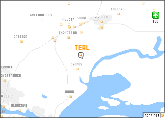
Teal (California, United States - USA)Teal is a town in the California region of United States - USA. An overview map of the region around Teal is displayed below.
regional and 3d topo map of Teal, United States - USA ::
Teal airports ::
The nearest airport is SUU - Fairfield Travis Afb, located 16.5 km north east of Teal.
Other airports nearby include OAK - Metropolitan Oakland Intl (51.7 km south), SAC - Sacramento Executive (63.5 km north east), SFO - San Francisco Intl (66.8 km south west), SMF - Sacramento Intl (71.9 km north east), Nearby towns ::
Jacksnipe (2.4km north east) //
Cygnus (2.5km south) //
Thomasson (5.5km north west) //
Subeet (6.1km north) //
Russell (7.4km north) //
Cordelia (6.5km north west) //
Danielson (7.6km north) //
Chadbourne (7.9km north) //
Suval (8.2km north) //
Cordelia Junction (7.2km north west) //
Suisun City (8.0km north east) //
Willota (8.3km north) //
Clima (8.5km north) //
Bahia (8.8km south) //
Rockville (8.7km north west) //
Fairfield (9.1km north) //
[all distances 'as the bird flies' and approximate] 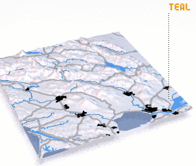 Places with similar names to Teal, United States - USA ::
Disclaimer :: Information on this page comes without warranty of any kind |
||
|
Where is Teal? Elevation and coordinates ::
Latitude (lat): 38°10'24"N Longitude (lon): 122°4'40"W
Elevation (approx.): 1m (map arrows pan, magnifying glasses zoom) |
||
|
Visiting Teal? Hotel/Accommodation ::
Book a hotel in Teal Travel Guide ::
rental cars ::
car rental offers GPS waypoint ::
download a GPX waypoint (PoI) of Teal for your GPS receiver
|
||