|
search place name
|
||
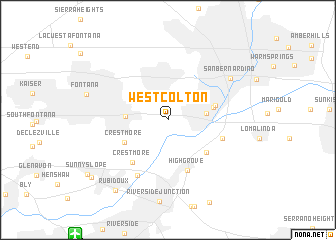
West Colton (California, United States - USA)West Colton is a town in the California region of United States - USA. An overview map of the region around West Colton is displayed below.
regional and 3d topo map of West Colton, United States - USA ::
West Colton airports ::
The nearest airport is RAL - Riverside Muni, located 15.4 km south west of West Colton.
Other airports nearby include RIV - Riverside March Arb (22.4 km south), ONT - Ontario Intl (23.0 km west), SNA - Santa Ana John Wayne Arpt Orange Co (64.5 km south west), LGB - Long Beach (78.9 km west), Nearby towns ::
Colton (3.7km east) //
Bloomington (4.0km west) //
Bethune (4.5km east) //
Crestmore (4.7km south west) //
Bunker Hill (4.7km east) //
Grand Terrace (5.2km south east) //
Highgrove (6.0km south) //
Crestmore (5.8km south west) //
East Colton Heights (5.4km east) //
Belltown (6.8km south west) //
San Bernardino (7.4km north east) //
Rubidoux (9.3km south west) //
Ennis (9.5km south west) //
[all distances 'as the bird flies' and approximate] 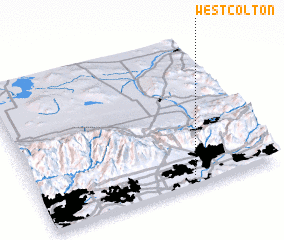 Places with similar names to West Colton, United States - USA ::
// West Gallatin (US)
Disclaimer :: Information on this page comes without warranty of any kind |
||
|
Where is West Colton? Elevation and coordinates ::
Latitude (lat): 34°4'1"N Longitude (lon): 117°21'7"W
Elevation (approx.): 315m (map arrows pan, magnifying glasses zoom) |
||
|
Visiting West Colton? Hotel/Accommodation ::
Book a hotel in West Colton Travel Guide ::
rental cars ::
car rental offers GPS waypoint ::
download a GPX waypoint (PoI) of West Colton for your GPS receiver
|
||