|
search place name
|
||
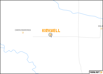
Kirkwell (Colorado, United States - USA)Kirkwell is a town in the Colorado region of United States - USA. An overview map of the region around Kirkwell is displayed below.
regional and 3d topo map of Kirkwell, United States - USA ::
Kirkwell airports ::
The nearest airport is PUB - Pueblo Memorial Pueblo Mem, located 186.7 km north west of Kirkwell.
Other airports nearby include TCC - Tucumcari Muni (226.1 km south), COS - City Of Colorado Springs Muni (240.3 km north west), AMA - Rick Husband Amarillo Intl (241.2 km south east), Nearby towns ::
[all distances 'as the bird flies' and approximate] 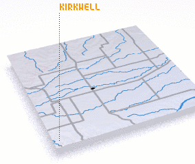 Places with similar names to Kirkwell, United States - USA ::
// Corkwell (US)
// Ga-Rakwele (ZA)
// Kouragwal (TD)
// Kurkawāla (IN)
// Gorakawala (LK)
// Karākwāla (PK)
// Karukkewāla (PK)
// Kerakkawāla (PK)
// Kurakwāli (PK)
// Crookwell (AU)
Disclaimer :: Information on this page comes without warranty of any kind |
||
|
Where is Kirkwell? Elevation and coordinates ::
Latitude (lat): 37°8'55"N Longitude (lon): 102°56'26"W
Elevation (approx.): 1495m (map arrows pan, magnifying glasses zoom) |
||
|
Visiting Kirkwell? Hotel/Accommodation ::
Book a hotel in Kirkwell Travel Guide ::
rental cars ::
car rental offers GPS waypoint ::
download a GPX waypoint (PoI) of Kirkwell for your GPS receiver
|
||