|
search place name
|
||
Roxbury Falls (Connecticut, United States - USA)Roxbury Falls is a town in the Connecticut region of United States - USA. An overview map of the region around Roxbury Falls is displayed below.
regional and 3d topo map of Roxbury Falls, United States - USA ::

Roxbury Falls airports ::
The nearest airport is BDR - Stratford Igor I Sikorsky Mem, located 41.3 km south of Roxbury Falls.
Other airports nearby include HPN - White Plains Westchester Co (59.2 km south west), HFD - Hartford Brainard (60.7 km north east), SWF - Newburgh Stewart Intl (66.3 km west), BDL - Windsor Locks Bradley Intl (70.8 km north east), Nearby towns ::
Roxbury (5.3km north) //
Roxbury Station (5.7km north) //
Bridgewater (5.5km north west) //
Obtuse Hill (6.3km south west) //
Shady Rest (7.1km south east) //
South Britain (6.5km south east) //
Heritage Village (6.6km south east) //
Heritage Village (6.9km east) //
Berkshire Estates (8.5km south east) //
Russian Village (8.5km south east) //
Rocky Glen (9.1km south) //
Oakdale Manor (8.6km south east) //
Brookfield Center (7.9km south west) //
Pootatuck Park (9.8km south east) //
Riverside (10.4km south east) //
[all distances 'as the bird flies' and approximate] 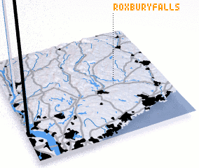 Places with similar names to Roxbury Falls, United States - USA :: Disclaimer :: Information on this page comes without warranty of any kind |
||
|
Where is Roxbury Falls? Elevation and coordinates ::
Latitude (lat): 41°30'30"N Longitude (lon): 73°18'40"W
Elevation (approx.): 91m (map arrows pan, magnifying glasses zoom) |
||
|
Visiting Roxbury Falls? Hotel/Accommodation ::
Book a hotel in Roxbury Falls Travel Guide ::
rental cars ::
car rental offers GPS waypoint ::
download a GPX waypoint (PoI) of Roxbury Falls for your GPS receiver
|
||