|
search place name
|
||
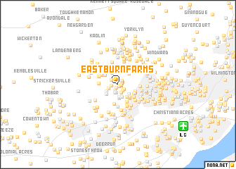
Eastburn Farms (Delaware, United States - USA)Eastburn Farms is a town in the Delaware region of United States - USA. An overview map of the region around Eastburn Farms is displayed below.
regional and 3d topo map of Eastburn Farms, United States - USA ::
Eastburn Farms airports ::
The nearest airport is ILG - Wilmington New Castle, located 10.4 km south east of Eastburn Farms.
Other airports nearby include PHL - Philadelphia Intl (42.0 km east), APG - Aberdeen Phillips Aaf (50.4 km south west), MIV - Millville Muni (67.9 km south east), NXX - Willow Grove Nas Jrb (69.6 km north east), Nearby towns ::
Pike Creek Valley (0.3km south) //
Woodcreek (0.4km east) //
Linden Heath (0.4km south east) //
Plum Run (0.5km south west) //
Mermaid Run (0.5km east) //
Mermaid (0.7km north east) //
Weatherhill Farms (0.8km north east) //
Pike Creek (1.0km south west) //
Pepper Ridge (0.8km west) //
Linden Hill (1.1km south east) //
Linden Green Apartment (1.1km south east) //
Fairway Falls (1.3km south) //
Linden Square (1.3km south) //
The Bluffs (1.3km south) //
The Pines of Pike Creek (1.1km north west) //
Foxfire (1.3km south west) //
English Village (2.0km south) //
Skyline Ridge (2.0km south) //
Jarrell Farms (2.0km north) //
Smith Mill Farms (1.8km south west) //
Drummond Ridge (2.2km south) //
Mendenhall Village (2.2km north) //
Skyline Crest (2.0km south east) //
Drummond North (2.0km south west) //
Limestone Hills (2.1km north east) //
Deacons Walk (2.1km south west) //
The Hills of Skyline (2.3km south east) //
Woodridge (2.2km north west) //
North Star Addition (2.5km north west) //
[all distances 'as the bird flies' and approximate] 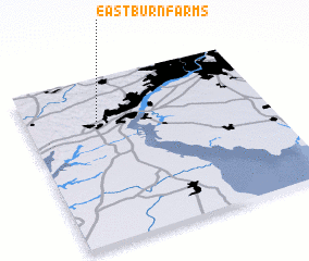 Places with similar names to Eastburn Farms, United States - USA :: Disclaimer :: Information on this page comes without warranty of any kind |
||
|
Where is Eastburn Farms? Elevation and coordinates ::
Latitude (lat): 39°44'20"N Longitude (lon): 75°42'0"W
Elevation (approx.): 73m (map arrows pan, magnifying glasses zoom) |
||
|
Visiting Eastburn Farms? Hotel/Accommodation ::
Book a hotel in Eastburn Farms Travel Guide ::
rental cars ::
car rental offers GPS waypoint ::
download a GPX waypoint (PoI) of Eastburn Farms for your GPS receiver
|
||