|
search place name
|
||
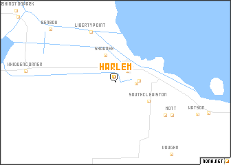
Harlem (Florida, United States - USA)Harlem is a town in the Florida region of United States - USA. An overview map of the region around Harlem is displayed below.
regional and 3d topo map of Harlem, United States - USA ::
Harlem airports ::
The nearest airport is RSW - Fort Myers Southwest Florida Intl, located 83.1 km west of Harlem.
Other airports nearby include PBI - West Palm Beach Palm Beach Intl (85.3 km east), FLL - Fort Lauderdale Hollywood Intl (108.5 km south east), VRB - Vero Beach Muni (114.7 km north east), MIA - Miami Intl (123.7 km south east), Nearby towns ::
Clewiston (2.5km north east) //
Sugarton (3.2km north) //
Sugar Junction (3.0km east) //
Hooker Point (3.4km east) //
Shawnee (4.6km north) //
South Clewiston (5.8km south east) //
Liberty Point (8.9km north west) //
Keela (8.9km south east) //
[all distances 'as the bird flies' and approximate] 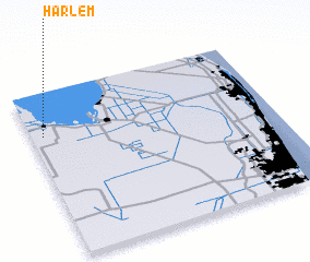 Places with similar names to Harlem, United States - USA ::
Disclaimer :: Information on this page comes without warranty of any kind |
||
|
Where is Harlem? Elevation and coordinates ::
Latitude (lat): 26°44'14"N Longitude (lon): 80°57'4"W
Elevation (approx.): 8m (map arrows pan, magnifying glasses zoom) |
||
|
Visiting Harlem? Hotel/Accommodation ::
Book a hotel in Harlem Travel Guide ::
rental cars ::
car rental offers GPS waypoint ::
download a GPX waypoint (PoI) of Harlem for your GPS receiver
|
||