|
search place name
|
||
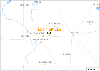
Lottieville (Florida, United States - USA)Lottieville is a town in the Florida region of United States - USA. An overview map of the region around Lottieville is displayed below.
regional and 3d topo map of Lottieville, United States - USA ::
Lottieville airports ::
The nearest airport is GNV - Gainesville Rgnl, located 61.3 km east of Lottieville.
Other airports nearby include NIP - Jacksonville Nas (136.4 km north east), JAX - Jacksonville Intl (152.3 km north east), VAD - Valdosta Moody Afb (153.0 km north), TLH - Tallahassee Rgnl (164.9 km north west), Nearby towns ::
Wilcox (2.3km west) //
Blitchville (3.9km north) //
Fanning Springs (3.9km south west) //
Wilcox Junction (4.1km west) //
Andrews (9.8km south east) //
[all distances 'as the bird flies' and approximate] 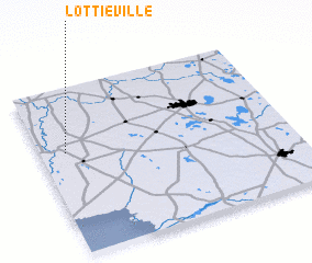 Places with similar names to Lottieville, United States - USA ::
// Ladyville (BZ)
// Leadville (US)
// Ludville (US)
// Leadville (US)
// Lottaville (US)
// Latveliai (LT)
// Latifli (TR)
// Liddieville (US)
// Loudville (US)
// Loudville (US)
Disclaimer :: Information on this page comes without warranty of any kind |
||
|
Where is Lottieville? Elevation and coordinates ::
Latitude (lat): 29°36'43"N Longitude (lon): 82°53'53"W
Elevation (approx.): 17m (map arrows pan, magnifying glasses zoom) |
||
|
Visiting Lottieville? Hotel/Accommodation ::
Book a hotel in Lottieville Travel Guide ::
rental cars ::
car rental offers GPS waypoint ::
download a GPX waypoint (PoI) of Lottieville for your GPS receiver
|
||