|
search place name
|
||
Oviedo (Florida, United States - USA)Oviedo is a town in the Florida region of United States - USA. An overview map of the region around Oviedo is displayed below.
regional and 3d topo map of Oviedo, United States - USA ::

Oviedo airports ::
The nearest airport is MCO - Orlando Intl, located 28.4 km south of Oviedo.
Other airports nearby include COF - Coco Beach Patrick Afb (75.9 km south east), MLB - Melbourne Intl (83.6 km south east), VRB - Vero Beach Muni (136.6 km south east), TPA - Tampa Intl (151.0 km south west), Nearby towns ::
Lake Charm (1.1km east) //
Neheb (2.6km north) //
Slavia (3.3km south west) //
Jones Landing (3.8km north) //
Truck Corner (3.7km north east) //
Whites Landing (4.5km north west) //
Jamestown (5.4km south west) //
Gabriella (6.0km south west) //
Iowa City (6.0km north east) //
Clifton (7.4km north west) //
Kolokee (7.4km north east) //
Bertha (8.0km south west) //
Wagner (8.2km north west) //
[all distances 'as the bird flies' and approximate] 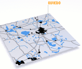 Places with similar names to Oviedo, United States - USA ::
Disclaimer :: Information on this page comes without warranty of any kind |
||
|
Where is Oviedo? Elevation and coordinates ::
Latitude (lat): 28°40'11"N Longitude (lon): 81°12'30"W
Elevation (approx.): 17m (map arrows pan, magnifying glasses zoom) |
||
|
Visiting Oviedo? Hotel/Accommodation ::
Book a hotel in Oviedo Travel Guide ::
rental cars ::
car rental offers GPS waypoint ::
download a GPX waypoint (PoI) of Oviedo for your GPS receiver
|
||