|
search place name
|
||
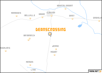
Deans Crossing (Georgia, United States - USA)Deans Crossing is a town in the Georgia region of United States - USA. An overview map of the region around Deans Crossing is displayed below.
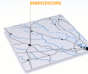
regional and 3d topo map of Deans Crossing, United States - USA ::
Deans Crossing airports ::
The nearest airport is SAV - Savannah Hilton Head Intl, located 66.5 km east of Deans Crossing.
Other airports nearby include SVN - Hunter Aaf (72.3 km east), NBC - Beaufort Mcas (119.3 km east), AGS - Bush Field Augusta Rgnl At Bush Fld (141.8 km north), WRB - Macon Robins Afb (170.0 km west), Nearby towns ::
 Places with similar names to Deans Crossing, United States - USA ::
// Dennies Crossing (US)
Disclaimer :: Information on this page comes without warranty of any kind |
||
|
Where is Deans Crossing? Elevation and coordinates ::
Latitude (lat): 32°5'33"N Longitude (lon): 81°54'19"W
Elevation (approx.): 60m (map arrows pan, magnifying glasses zoom) |
||
|
Visiting Deans Crossing? Hotel/Accommodation ::
Book a hotel in Deans Crossing Travel Guide ::
rental cars ::
car rental offers GPS waypoint ::
download a GPX waypoint (PoI) of Deans Crossing for your GPS receiver
|
||